
Babaamaajimowinan (Telling of news in different places)
Babaamaajimowinan (Telling of news in different places)
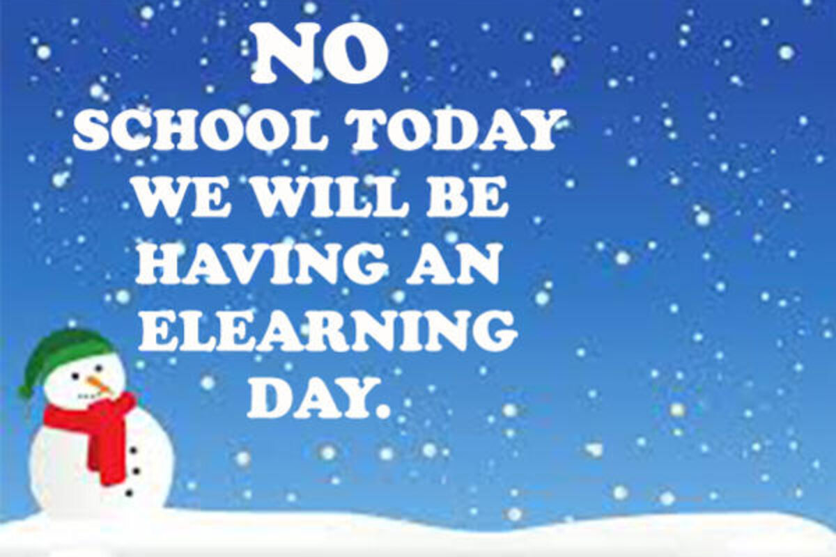
ALL RED LAKE SCHOOL DISTRICT STUDENTS WILL HAVE AN E-LEARNING DAY; TRIBAL PROGRAMS 2-HOUR LATE START
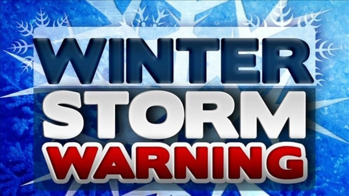
WINTER STORM WARNING
ALL RED LAKE SCHOOL DISTRICT STUDENTS WILL HAVE AN E-LEARNING DAY; TRIBAL PROGRAMS 2-HOUR LATE START
URGENT - WINTER WEATHER MESSAGE
National Weather Service Grand Forks ND
723 PM CST Mon Feb 26 2024
Roseau-Lake Of The Woods-East Marshall-North Beltrami-Pennington-Red Lake-East Polk-North Clearwater-South Beltrami-Mahnomen-South Clearwater-Including the cities of Casperson, Fox, Hayes Lake State Park, Malung, Pencer, Roseau, Salol, Baudette, Newfolden, Middle River, Espelie, Gatzke, Grygla, Rosewood, Red Lake, Redby, Ponemah, Dakota Junction, Thief River Falls, Red Lake Falls, Fosston, Fertile, McIntosh, Erskine, Bagley, Clearbrook, Bemidji, Lavinia, Rosby, Mahnomen, Naytahwaush, Waubun, Alida, Ebro, Lake Itasca, Long Lost Lake, Lower Rice Lake, Roy Lake, and Upper Rice Lake
723 PM CST Mon Feb 26 2024
...WINTER STORM WARNING IN EFFECT FROM 1 AM TO 6 PM CST TUESDAY...
* WHAT...Heavy snow expected. Total snow accumulations of 4 to 7 inches. Winds gusting as high as 40 mph.
* WHERE...Portions of northwest Minnesota.
* WHEN...From 1 AM to 6 PM CST Tuesday.
* IMPACTS...Travel will be very difficult. Widespread blowing snow will significantly reduce visibility. The hazardous conditions will impact the morning or evening commute. The cold wind chills as low as 25 below zero will cause frostbite on exposed skin in as little as 30 minutes.
* ADDITIONAL DETAILS...The heaviest snow is expected to fall within a narrow band. Impacts could vary greatly across a rather short distance due to high variability in snowfall totals.
PRECAUTIONARY/PREPAREDNESS ACTIONS...
If you must travel, keep an extra flashlight, food, and water in your vehicle in case of an emergency.
The latest road conditions for North Dakota can be found at travel.dot.nd.gov and for Minnesota at 511mn.org, or by calling 5 1 1 in either state.
Hazardous Weather Outlook
Hazardous Weather Outlook
National Weather Service Grand Forks ND
949 PM CST Mon Feb 26 2024
West Polk-Norman-Clay-Kittson-Roseau-Lake Of The Woods-West Marshall-East Marshall-North Beltrami-Pennington-Red Lake-East Polk-North Clearwater-South Beltrami-Mahnomen-
South Clearwater-Hubbard-West Becker-East Becker-Wilkin-West Otter Tail-East Otter Tail-Wadena-Grant-Towner-Cavalier-Pembina-Benson-Ramsey-Eastern Walsh-Eddy-Nelson-Grand Forks-Griggs-Steele-Traill-Barnes-Cass-Ransom-Sargent-Richland-Western Walsh-
949 PM CST Mon Feb 26 2024
This hazardous weather outlook is for portions of eastern North Dakota, west central and northwest Minnesota.
.DAY ONE...Tonight
Snow and wind will move in tonight and continue into Tuesday. A dusting of snow is expected along the Canadian border in north central North Dakota and along the North and South Dakota border into adjacent areas of west central Minnesota. The most snow, over 4 inches, is expected from Cooperstown North Dakota to Crookston to Waskish Minnesota. Within this corridor, there may also be a narrow band of snowfall amounts over 6 inches. Wind speeds will also increase overnight, gusting up to 45 to 50 mph over eastern North Dakota and the Red River Valley, resulting in near blizzard conditions at times, especially in open country within the central Red River Valley. Wind chills to 25 below zero are also anticipated.
.DAYS TWO THROUGH SEVEN...Tuesday through Sunday
Gusty north winds will continue Tuesday, with gusts up to 45 to 50 mph over eastern North Dakota and the Red River Valley. This will result in near blizzard conditions at times, especially in open country within the central Red River Valley. Wind chills to 25 below zero are also anticipated.


Reader Comments(0)