
Babaamaajimowinan (Telling of news in different places)
Babaamaajimowinan (Telling of news in different places)

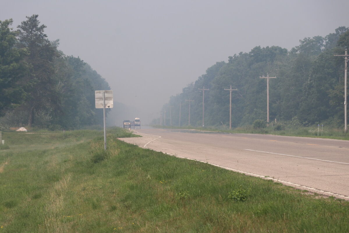


Northern Minnesota was blanketed with mild smoke on Saturday, July 6, 2019. The smoke was coming from Ontario, Canada.
Canada's Ontario province has been plagued by a spate of fires which started on June 15, 18, and 30, 2019. The cause of the fires has not been reported but one likely scenario could be that the fires began with lightning strikes in the area.
One of the two largest fires is Red Lake Fire number 23 (Red 023) is 16 kilometers (10 miles) southwest of Keewaywin. As of July 01, 2019 the fire was 30,000 ha (74,132 acres) in size under extreme burning conditions. This fire is burning from a west to east line. Fire officials may use aerial ignition to bring sections of the fire to natural boundaries in an effort to control the blaze.
The other of the largest fires in the region is the Red Lake Fire Number 39 (Red 039) is currently not under control and is 7,600 ha (18,780 acres) in size and is located near the Cairns River, approximately 25 kilometers (15.5 miles) southwest of the Ojibwe First Nation community of Pikangikum. Fire officials are setting up sprinklers on structures in the area of the fire in an effort to save these structures.
Red Lake Fire Number 40 (Red 040) is also not control and is 500 ha (1,235 acres) in size. This blaze is located near Nungesser Lake which is 40 kilometers (25 miles) north of Red Lake. Aggressive air attack was employed by firefighters on June 30 and July 01. Fire officials are also setting up sprinklers to save structures in the path of this fire as well.
Red Lake Fire 23 (Red 023) which started on June 15 is currently under observation and is 932 ha (2,303 acres) in size.
Red Lake Fire 24 (Red 024) is also being observed at present. This fire began on June 18 and is 7,033 ha (17,379 acres) in size.
NASA's Earth Observing System Data and Information System (EOSDIS) Worldview application provides the capability to interactively browse over 700 global, full-resolution satellite imagery layers and then download the underlying data. Many of the available imagery layers are updated within three hours of observation, essentially showing the entire Earth as it looks "right now." This Aqua satellite image was collected on July 01, 2019. Actively burning fires, detected by thermal bands, are shown as red points. Image Courtesy: NASA Worldview, Earth Observing System Data and Information System (EOSDIS). Caption: Lynn Jenner with information from the Government of Ontario forest fire website.


Reader Comments(0)