
Babaamaajimowinan (Telling of news in different places)
Babaamaajimowinan (Telling of news in different places)


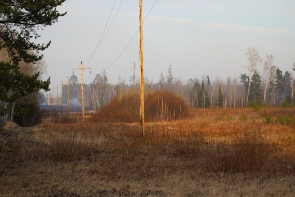


RED LAKE INDIAN RESERVATION - On Wednesday, April 15, 2015 the Red Lake DNR reported Critical High Fire Danger for the day, along with strong winds.
The National Weather Service in Grand Forks, ND listed Critical High Fire Danger in areas of Northwestern Minnesota, east North Dakota and northeast South Dakota, urging people to report any fire to law enforcement, as south winds would be gusting to 50 MPH in the northern Red River Valley. They stated there would be areas of blowing dust in open country, reducing visibilities.
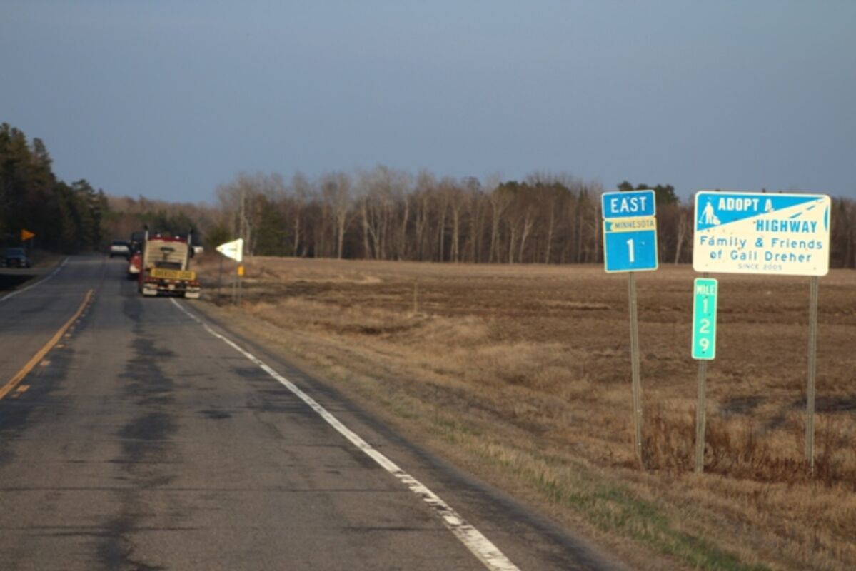
One of the largest wildfires in Red Lake was a fire 1 mile east of the Red Lake Reservation on State Highway 1 near Everts Road Northeast, officials said, and firefighters from the DNR and the Kelliher Fire Department were on the scene as of Wednesday evening. The fire was reported to be approximately 400 yards wide and a mile long. Officials urged people to avoid Highway 1 in the area.
In all, the high winds and dry vegetation led to all of northwest Minnesota being listed in the "extreme fire danger" category by the DNR. Most of the state is in the high danger category. To see the state's fire danger rankings, visit the DNR's website at http://www.dnr.state.mn.us/forestry/fire/links.html.
The National Weather Service office in Grand Forks also issued a "red flag warning" for northwest Minnesota and northeast North Dakota, remarking "a combination of strong winds, low relative humidity and warm temperatures will contribute to extreme fire behavior."
The forecast in the Red Lake area calls for similar conditions Thursday, although there is a 20 percent chance of showers before 1 p.m. Friday's forecast calls for a high of 64 with wind gusts as high as 25 miles per hour.
Detailed Forecast:
Overnight
A 20 percent chance of showers after 2am. Mostly cloudy, with a low around 38. South wind 9 to 11 mph.
Thursday
A 20 percent chance of showers before 1pm. Partly sunny, with a high near 48. South southwest wind 7 to 9 mph becoming west northwest in the afternoon.
Thursday Night
Mostly clear, with a low around 34. Northwest wind 5 to 7 mph becoming light and variable after midnight.
Friday
Sunny, with a high near 48. Light southwest wind becoming west 10 to 15 mph in the morning. Winds could gust as high as 21 mph.
Friday Night
Mostly clear, with a low around 29. Northwest wind 5 to 14 mph, with gusts as high as 20 mph.
Saturday
Sunny, with a high near 52.
Saturday Night
A 50 percent chance of showers. Mostly cloudy, with a low around 38.
Sunday
A chance of showers. Mostly cloudy, with a high near 44.
Sunday Night
A chance of rain and snow showers. Mostly cloudy, with a low around 31.
Monday
A slight chance of rain and snow showers. Partly sunny, with a high near 38.
Monday Night
A slight chance of rain and snow showers. Mostly cloudy, with a low around 27.
Tuesday
A slight chance of rain and snow showers. Mostly cloudy, with a high near 38.
Tuesday Night
A slight chance of rain and snow showers. Mostly cloudy, with a low around 24.
Wednesday
A slight chance of rain and snow showers. Mostly cloudy, with a high near 37.


Reader Comments(0)